December 2017 | Print | Brochure
In the Kampinoski National Park, hydrological observations have been carried out for many years. This allowed for a better understanding of the water cycle.
Thanks to the collection of hydrological data, to the disappearance of agriculture in these areas and to the progressing purchase of land by the Kampinos National Park, there was a possibility of taking active measures to restore the natural water conditions on selected parts of the Kampinos Woodland.
These activities were initiated as part of the “Kampinos Wetlands” project implemented by KPN in cooperation with REC Poland, SGGW, ITP and Mazowieckie Voivodship Office.
At the beginning of the project, a laser scanning was made, thanks to which a very accurate altitude map of the forest area was obtained. Regular flow measurements of main channels are carried out and groundwater are monitored. These measurements will allow for an accurate assessment of the effects of the activities carried out.
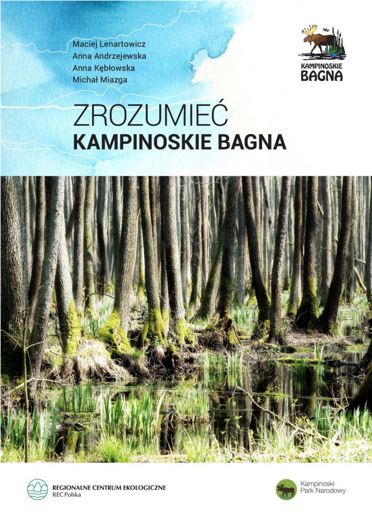
The richly illustrated brochure contains a large dose of scientific knowledge given in an accessible way, that you can understand the flow of groundwater and surface waters, causes of historical floods and flooding, as well as how ditches, thresholds and other water devices work.
The brochure also deals with issues such as the progressive urbanization of wetland areas and concreting of areas where water could infiltrate in an undisturbed manner so far.
The influence of water on the vegetation of the Kampinos Woodland, the evolution of habitats depending on the humidity and agricultural use is part of the scientific research in the “Kampinos Wetlands” project. A characteristic for wetland areas of the Kampinos National Park are periodically dying alders (Alnenion). However, it must be understood that dead trees are a desirable element of natural forests. Decaying wood fertilizes the forest soil and provides a living environment for many rare species of fungi, mosses and insects, which only in such an environment have a chance to survive. Standing dead trunks are also often used by birds as breeding places, and by new generations of trees and shrubs.
Hydrotechnical activities in the “Kampinos Wetlands” project include the construction of culverts and thresholds and small dams on ditches. Each of these objects is stacking water locally up to a height of 30-40 cm. In two places, where the main canals cross the natural depressions, the water was directed into the old riverbed. There are also small dikes that keep water in the meadows before it flows to Łasica. In addition, the causeway was strengthened in the village of Sadowa in the Łomianki munnicipality, so that during floods the water from the Kampinoski National Park would not spill directly into the village. An important part of the project is also the purchase of the most flooded meadows in the Brochów and Leszno munnicipalities.
A plan for the management of the beaver population was also developed as a key species for restoring natural conditions in this area and strategies for the functioning of weirs on the Łasica channel, so that they serve nature as much as possible.


 POWRÓT